Lugares de interés (POIs) del Mapa
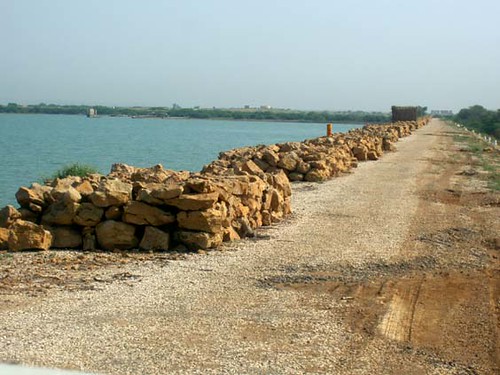
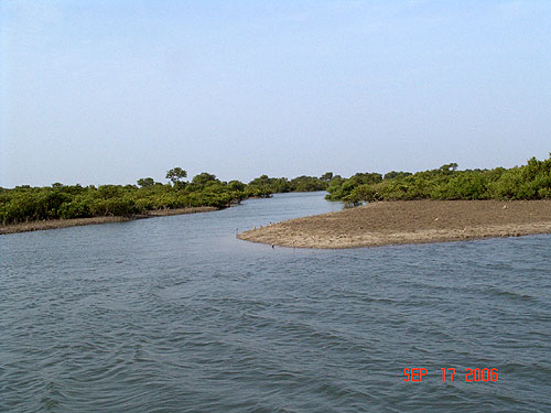
0: Chotiari Reservoir
| | | | |
| |||
| Description: | |||
| | |||
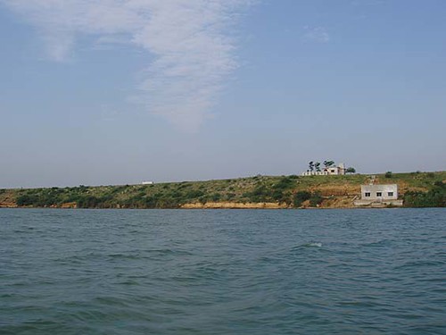
Más sobre Chotiari Reservoir
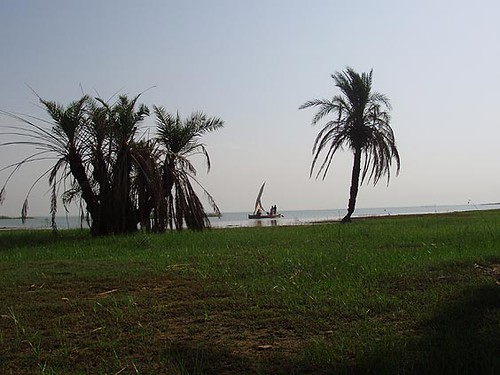
1: Keenjhar Lake
| | | | |
| |||
| Description: | |||
| | |||
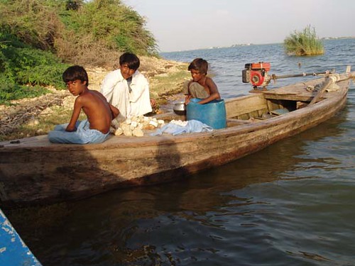
Más sobre Keenjhar Lake
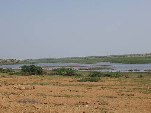
2: Keti Bunder
| | | | |
| |||
| Description: | |||
| | |||
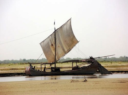
Más sobre Keti Bunder
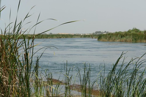
3: Pai Forest
| | | | |
| |||
| Description: | |||
| | |||
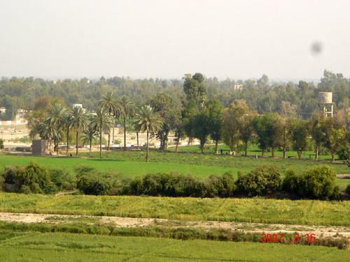
Más sobre Pai Forest