X marks the spot - WaterAid (sitios de interés)
Descripción del sitio
 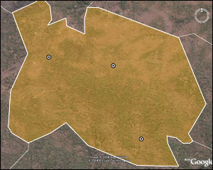 WaterAid | Google Earth WaterAid | X marks the spot Water point mapping ensures water supplies are built where they are needed most. In Mozambique, as in many countries where WaterAid works, there is limited data showing where water points are, or if they are working. This hinders efforts to reach the people who need water the most. WaterAid is helping communities to map existing water and sanitation facilities in their local area so that the new water points can be decided on in a fair, equitable way. Functioning and non-functioning water points are mapped so that water points can be rehabilitated, if necessary, or new water points can be installed in areas where they are most needed. Find out more about WaterAid in Mozambique.(c) WaterAid 2008 |