Albert Pike Recreation Area (June 11, 2010 flash flood) - VirtualGlobetrotting: Arkansas (AR) (sitios de interés)
Descripción del sitio
Read more...
(report offensive)
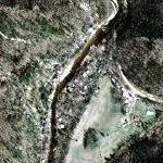
A wall of water swept through the Albert Pike Recreation Area before dawn Friday (June 11, 2010), when most campers were sleeping. The park is located along the Caddo and Little Missouri rivers, and the flood struck so quickly there was little chance for campers to escape.