Lugares de interés (POIs) del Mapa
2: Crossing 104 Ave
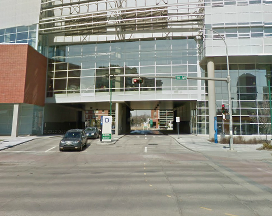
(looking North)
An existing light allows bikes to cross 104 St into the MacEwan parking lot.
Más sobre Crossing 104 Ave
3: MacEwan parking lot
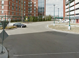
(looking North)
Sharrows and signs could describe a safe bike route through the wide, slow roadways of the MacEwan parking lot.
Más sobre MacEwan parking lot
4: MacEwan empty lot
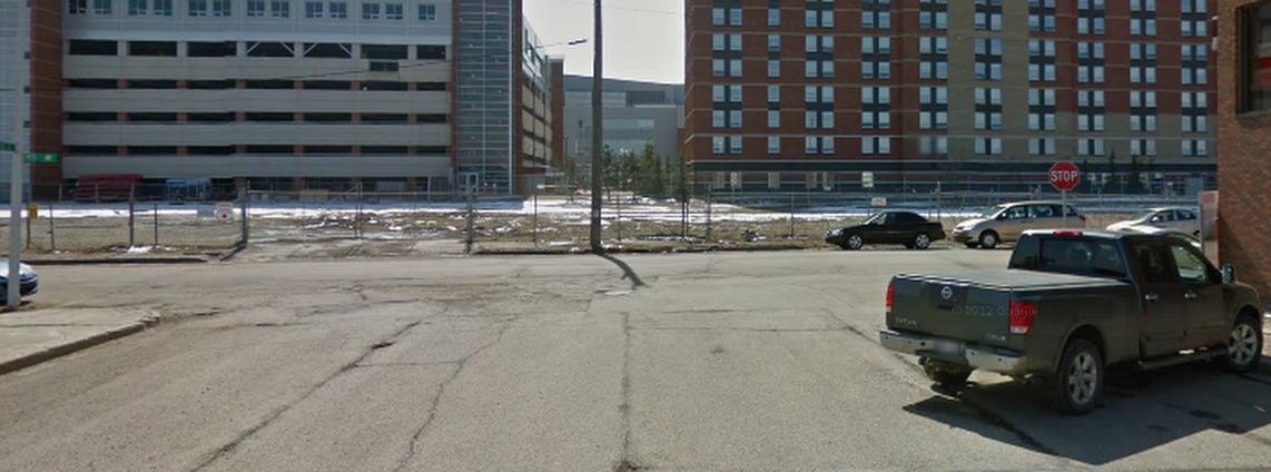
(looking South)
At present, an empty lot and a chain link fence separates the MacEwan parking lot from 105 St. A multi-use trail must be incorporated into plans for this lot.
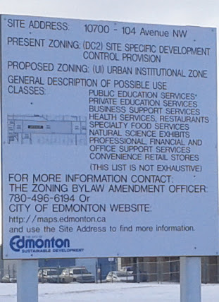
The site is apparently undergoing zoning changes.
Más sobre MacEwan empty lot
5: 110th Street
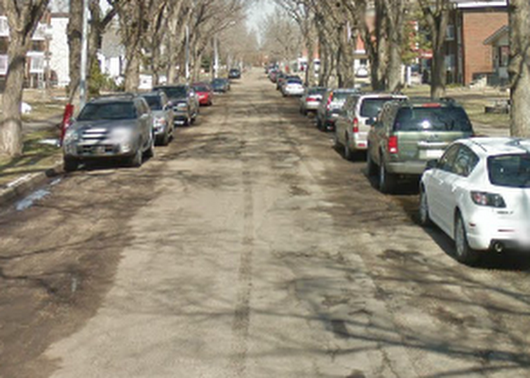
(looking North)
Sharrows would be sufficient to establish this quiet street as a bike route. It looks::text like it might be due for resurfacing soon, which make sharrow installation more economical.
Más sobre 110th Street
7: At 111th Ave
(looking North)
At 111th Ave, the route turns briefly down a service road, as these cyclists are demonstrating. Some extra signage might be needed to allow bikes to turn left safely.
Más sobre At 111th Ave
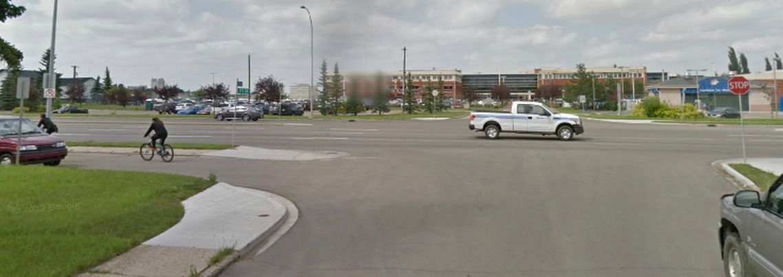
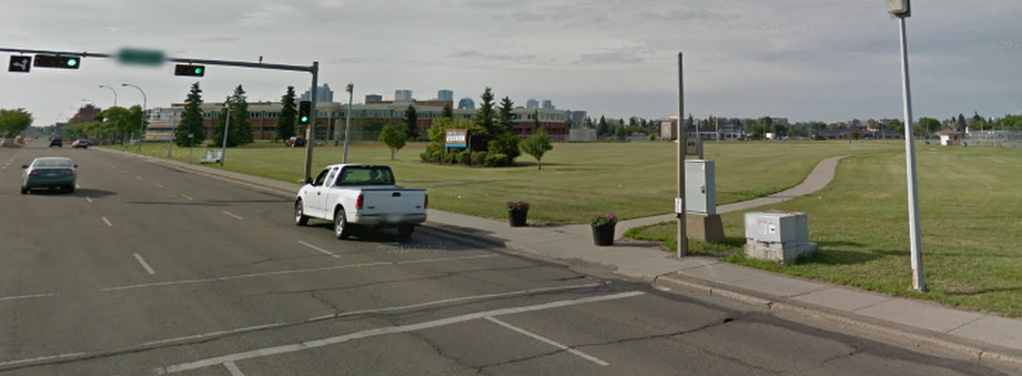
8: Crossing 111th Ave
(looking North-West)
Traffic lights should be installed, with bike buttons for north- and south-bound cyclists. The route continues onto an existing paved trail, visible just past the bus stop.
Más sobre Crossing 111th Ave
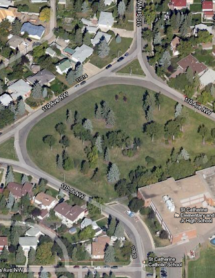
9: Airway Park satellite view
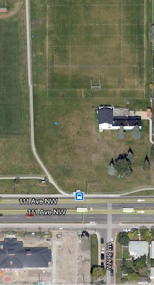
The route follows an exist paved path between sports fields in Airway Park.
Más sobre Airway Park satellite view
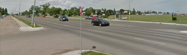
10: Crossing Kingsway
(looking South-East)
The route crosses Kingsway at existing lights. It now connects the new future neighbourhood of Blatchford to Downtown and Old Strathcona with a safe, pleasant bike route.
Más sobre Crossing Kingsway