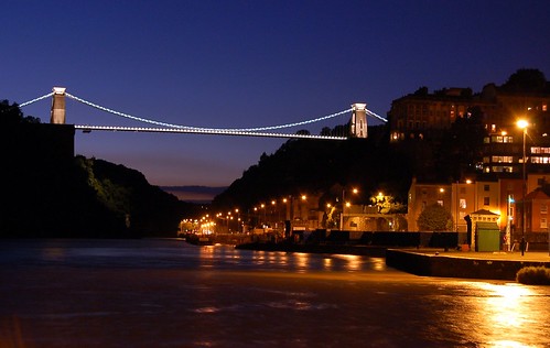
Lugares de interés (POIs) del Mapa
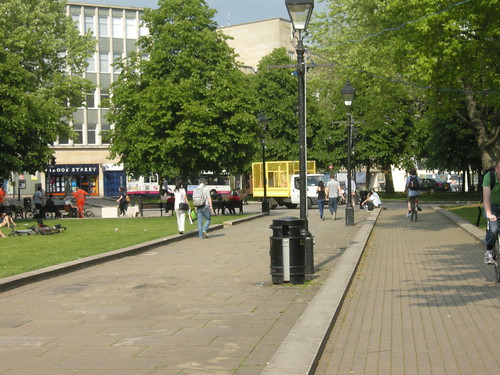
0: Sunday Evening ride
Más sobre Sunday Evening ride
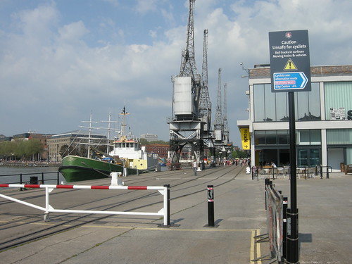
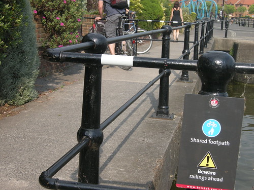
1: Prince's Wharf
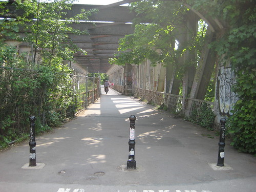
Old industrial harbourside, now museum, with museum railway operating some weekends. Shared use area. Another ~3m wide ~100m long path was added in 2006 alongside the railway under the Cumberland Road bridge, connecting the quayside with the Chocolate Block Path.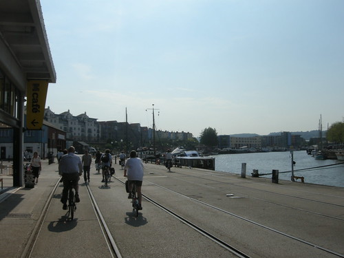
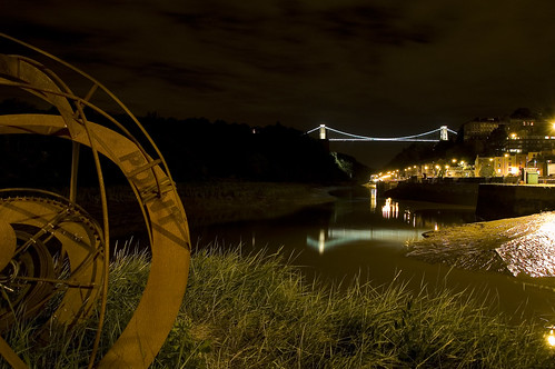
The quayside being well used on a summer evening, by flickr user tamo79: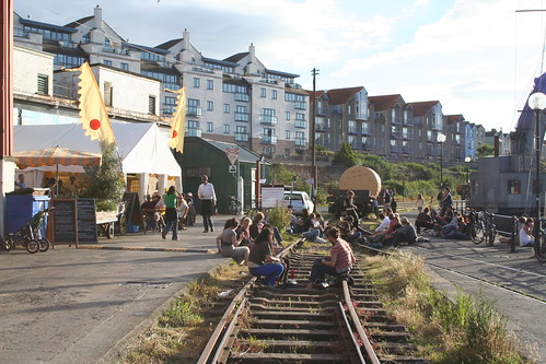
New link between quayside and Chocolate Block Path, shot in 2007. I don't remember if the railings are still there...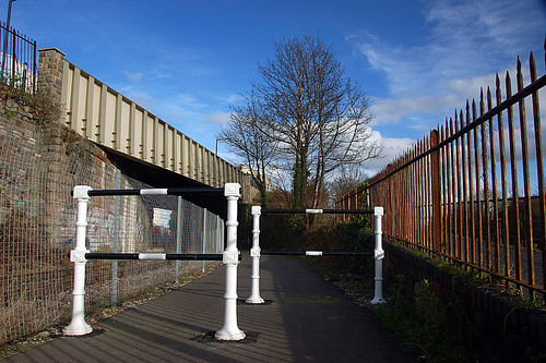
Más sobre Prince's Wharf
2: Chocolate Block Path
Victorian era path along the tidal New Cut of the River Avon. This is a river bypass, dynamited through here after the once tidal Harbour was "floated" with lock gates, to protect the harbour from flooding and siltation. The path is narrow and crumbling. Well it is more than 100 years old.
The City Council want to run Bus Rapid Transit along here, which I think involves rebuilding the riverbank and paving over the path and the old railway (which is sometimes used for museum train trips between Prince's Wharf and Cumberland Basin). I don't understand why they can't just take over Cumberland Road for the bus route.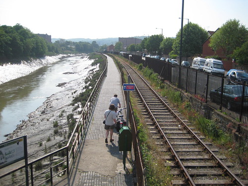

Más sobre Chocolate Block Path
3: Coronation Road
One of city's more embarrassing pieces of infrastructure -- only slightly less so since removing the centre line that marked a cycle route entirely blocked by the long avenue of mature trees.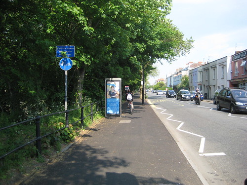
Más sobre Coronation Road
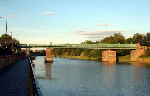
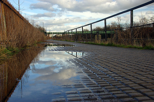
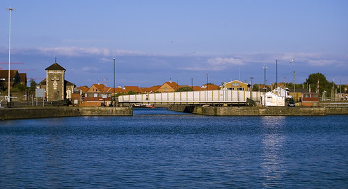
4: Festival Way and the Aston-Pill (Portishead) Path
The old Chocolate Block Path leads to this old bridge -- formerly double decker road and rail swing bridge, now fixed and rusting with one remaining track now overgrown, and a cycle path. On the other side is a well established Sustrans path down the Avon Gorge to Portishead, and a new Cycling City Connect2 route heading south to Ashton Court (scroll down for a video of that), Long Ashton, and beyond.
The local council want to ruin this whole lot with Bus Rapid Transit running through here and along the Chocolate Block Path.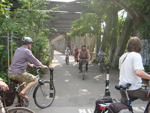
Random old pictures from flickr, including one when the top deck road and swing mechanism was still operational: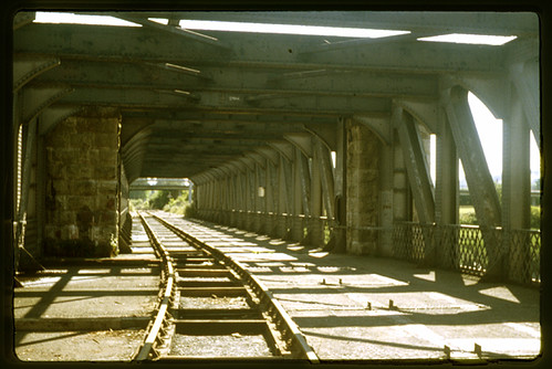

Sample of the Ashton to Pill Path (turn your sound off first):
Más sobre Festival Way and the Aston-Pill (Portishead) Path
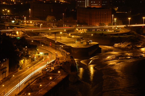
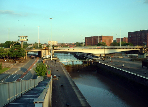
5: Brunel Way Intersection
The council were very proud of their brand new road system, aiding traffic flow by separating carriageways on multiple levels, when it opened in 1965, but are now struggling with the issue of how to make Hotwells a less awful car sick neighbourhood. Pre-dating completion of the M5, it was once a major national route. It includes a huge dual carriageway swing bridge over the harbour locks.
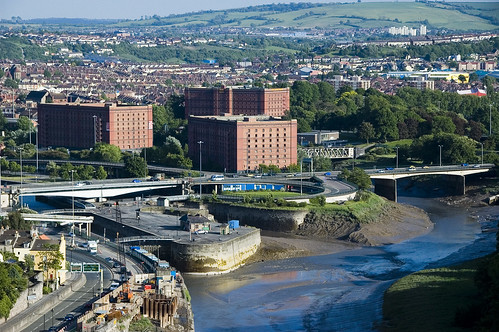

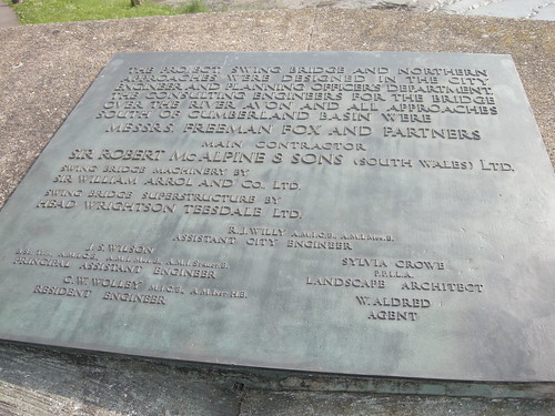
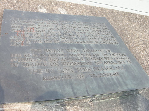
Más sobre Brunel Way Intersection
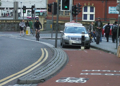
7: Portway cycle track
Heading down the river to Avonmouth beside the main road -- here are Andy P's pictures:


Más sobre Portway cycle track
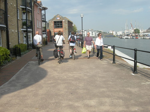
8: Locks & Cumberland Basin
More of the scenic tour. Almost all of the old harbourside is just left as shared use. Obviously it was never really designed for cycling and is far from perfect for it, but it can still make for a useful traffic-free route, and this is perhaps a part of Bristol's relative success: for a lot of journeys it's possible to avoid the worst of the motor traffic.
Más sobre Locks & Cumberland Basin
9: More harbourside path, with pointless barrier
Well, presumably some sort of incident took place here once, at a t-junction on a narrow section of the harbourside path (designed narrow, that is, by the 1990s(?) developers of the regeneration site), and somebody decided that blocking the path with railings would be the appropriate response...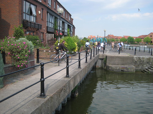

Más sobre More harbourside path, with pointless barrier
10: Gap in the harbourside path
We didn't go this way because the quayside is missing here. A developer cleared the old industrial harbourside and started digging a new marina just as the recession hit, so development stalled with a temporary pontoon path that requires going up and down steps.
Más sobre Gap in the harbourside path
11: Hotwells Roundabout
...the gap is particularly unfortunate because the alternative route is through the Hotwells Roundabout on one of the busiest arterial roads. (For Streetview, click "more", bottom right.)
Más sobre Hotwells Roundabout
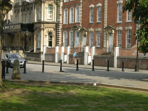
12: College Green - closed road
Formerly a main through road in front of the cathedral, which, IIRC, became part of a one-way-system along with Anchor Road. Closed in order to preserve the heritage and tranquillity of College Green in the late 1990s (I think) after the success of the Queen Square scheme.

Más sobre College Green - closed road
13: College Green cycle tracks
It's still possible to cycle the route that was closed to through motor traffic -- a cycle path runs through the remodelled College Green. A discrete cycle path -- perhaps too discrete, with little cycle symbols set in the paving stones, and pedestrians and cyclists routinely getting the footway and cycleway mixed up.
More recently (2006?) a short section of bidirectional cycle track was added to the main road, linking this path to the Central plaza, St Augustine's Parade.

Más sobre College Green cycle tracks
14: Bathurst Basin
Just another area of shared use harbourside with (narrow) shared use bridge.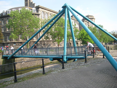
Más sobre Bathurst Basin